Lecture 8: Mesh Representations and Geometry Processing (4)
modatberkeley
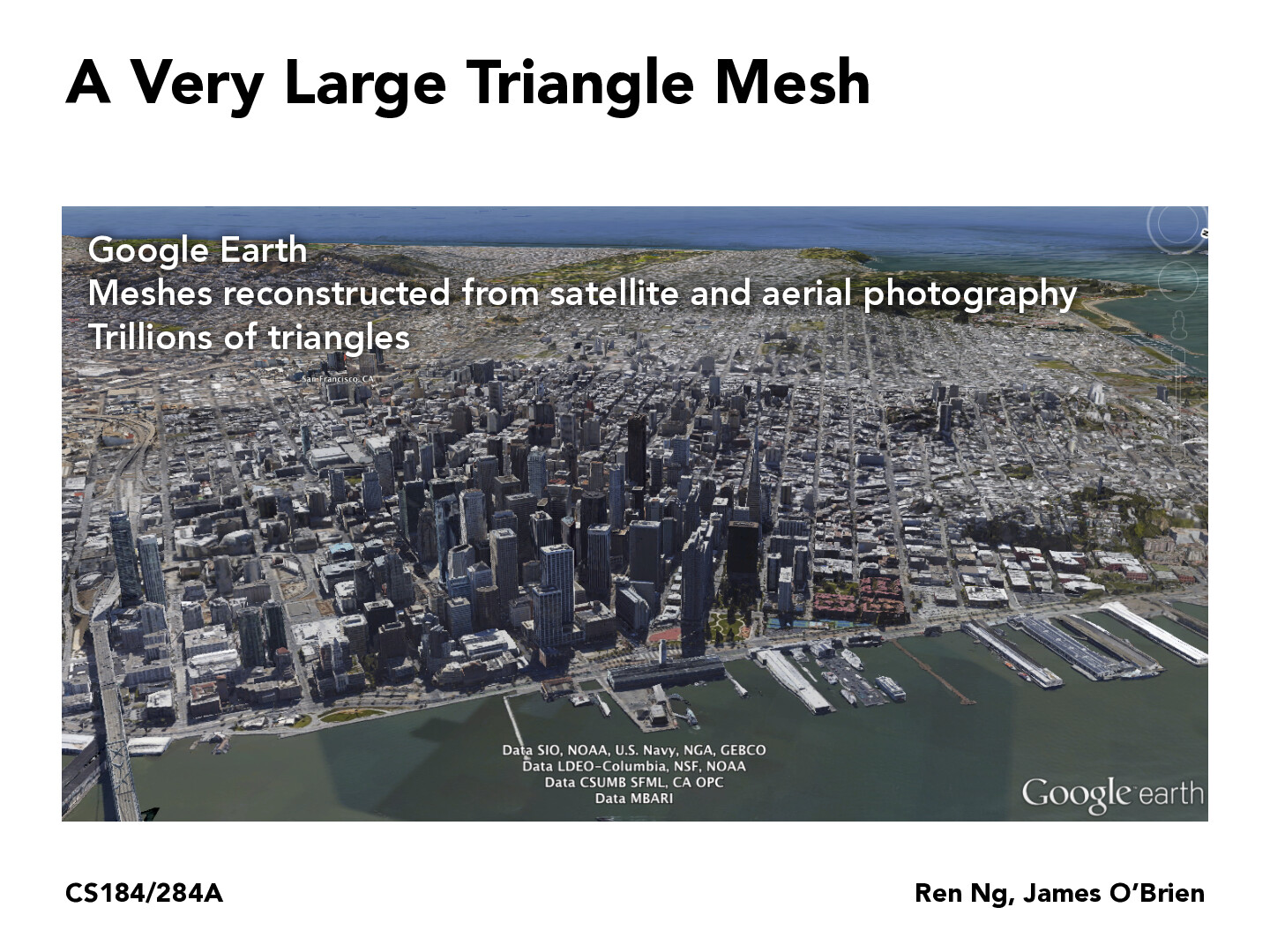
I'm curious as to how Google and other 3D scanning (whether at object-level scale or building-level) does about stitching different images together, since I am assuming the meshes are constructed from a collection of images.
Staffethanweber
I know that sometimes they will fly over places they want high quality 3D maps for and using reconstruction methods to stitch these images together. Probably some SFM (structure from motion) and MVS (multi-view stereo) algorithms. I imagine they will be using NeRF methods if not already too! -- Here's a link to Jeff Dean mentioning NeRF + Google Maps future.
I'm curious as to how Google and other 3D scanning (whether at object-level scale or building-level) does about stitching different images together, since I am assuming the meshes are constructed from a collection of images.
I know that sometimes they will fly over places they want high quality 3D maps for and using reconstruction methods to stitch these images together. Probably some SFM (structure from motion) and MVS (multi-view stereo) algorithms. I imagine they will be using NeRF methods if not already too! -- Here's a link to Jeff Dean mentioning NeRF + Google Maps future.