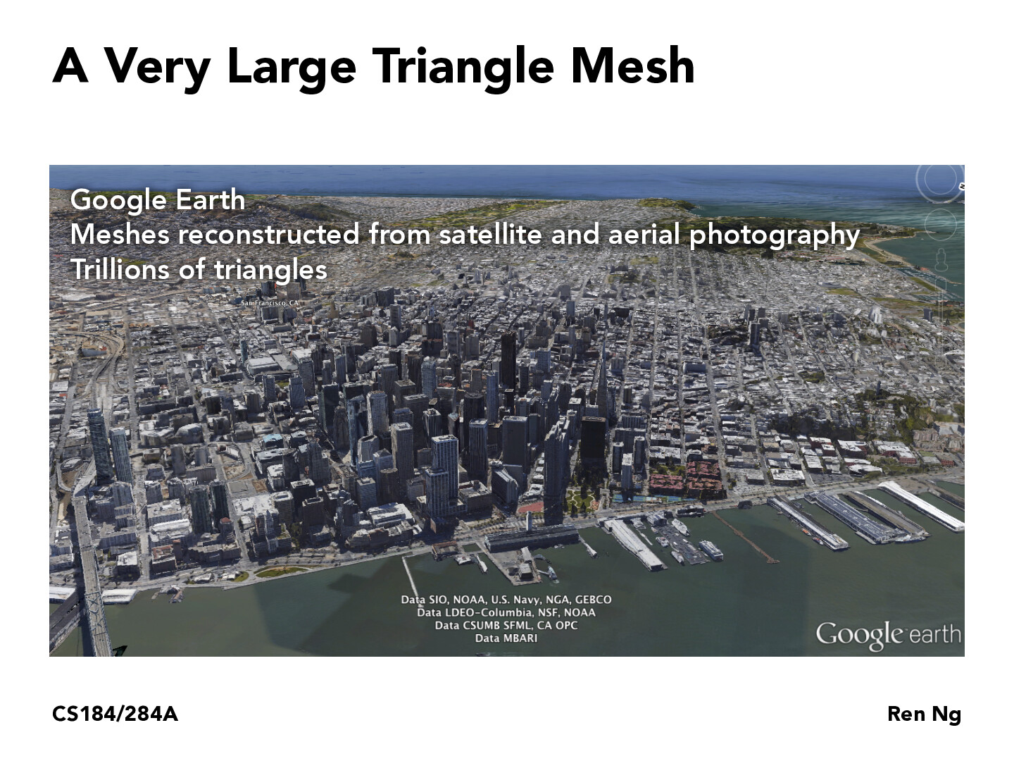
I recall that the display of 3-D map in Google earth is "formed" starting from triangle mesh. I remember When we zoom in to a more specific geographic location, the display starts from the state of triangle meshes (grids), then after a few seconds (based on the internet condition) it eventually turns into the clear and complete 3-D display of that location
AlsonC
@yangbright-2001 I wonder how this translates to Google Earth view, where you can zoom out and it represents the whole earth. I would assume the rendering engine creates a new triangle mesh, but I would be curious to know if anyone knew specifically how this worked?
jinweiwong
@yangbright-2001 I imagine this relates to the lecture on texture mapping, where each of the triangles in the mesh are mapped onto camera images taken from Google Street View. I can only imagine how much storage Google uses to store all those images!
I recall that the display of 3-D map in Google earth is "formed" starting from triangle mesh. I remember When we zoom in to a more specific geographic location, the display starts from the state of triangle meshes (grids), then after a few seconds (based on the internet condition) it eventually turns into the clear and complete 3-D display of that location
@yangbright-2001 I wonder how this translates to Google Earth view, where you can zoom out and it represents the whole earth. I would assume the rendering engine creates a new triangle mesh, but I would be curious to know if anyone knew specifically how this worked?
@yangbright-2001 I imagine this relates to the lecture on texture mapping, where each of the triangles in the mesh are mapped onto camera images taken from Google Street View. I can only imagine how much storage Google uses to store all those images!